How Accurate Is Your Phone's Altitude Reading? Understanding GPS Height, Barometric Height, and True Elevation
Have you noticed discrepancies between road signs and your phone's altitude reading on mountains? At Zheduo Pass, a sign might read "4,298 meters" while your phone shows "4,311 meters." So, how reliable is your phone's altitude data? Let's clarify how these measurements work.
Your phone's altitude combines two technologies—but it differs from the "true elevation" on maps. Three key concepts explain this:
📡 GPS Height (Ellipsoid Height)
Calculated from satellite signals using a smooth mathematical ellipsoid model (e.g., China's CGCS2000, with a semi-major axis of 6,378,137 m).
- Pros: High absolute accuracy.
- Cons: Requires clear satellite signals; fails indoors/under dense cover; slow updates.
🌀 Barometric Height (Physical Height)
Derived from air pressure changes (lower pressure = higher altitude). Uses 1,013.25 hPa at mean sea level as a baseline—but weather distorts readings.
- Pros: Ultra-responsive to small changes (e.g., stairs/elevators); works anywhere.
- Cons: Highly weather-sensitive; reflects physiologically relevant altitude (e.g., oxygen levels).
🗺 True Elevation (Orthometric Height)
The official geographic elevation referenced to the geoid (an irregular surface approximating mean sea level). Differs from GPS height due to "geoid undulation."
China uses the 1985 National Height Datum, anchored to Qingdao's survey point (72.2604 m). Road signs and maps show this value.
✈️ Why the Big Gap on Airplanes?
Cabin pressurization keeps barometric height near ground level, while GPS height tracks geometric distance to the ellipsoid at cruising altitude—two entirely different references.
📲 Observe It Yourself
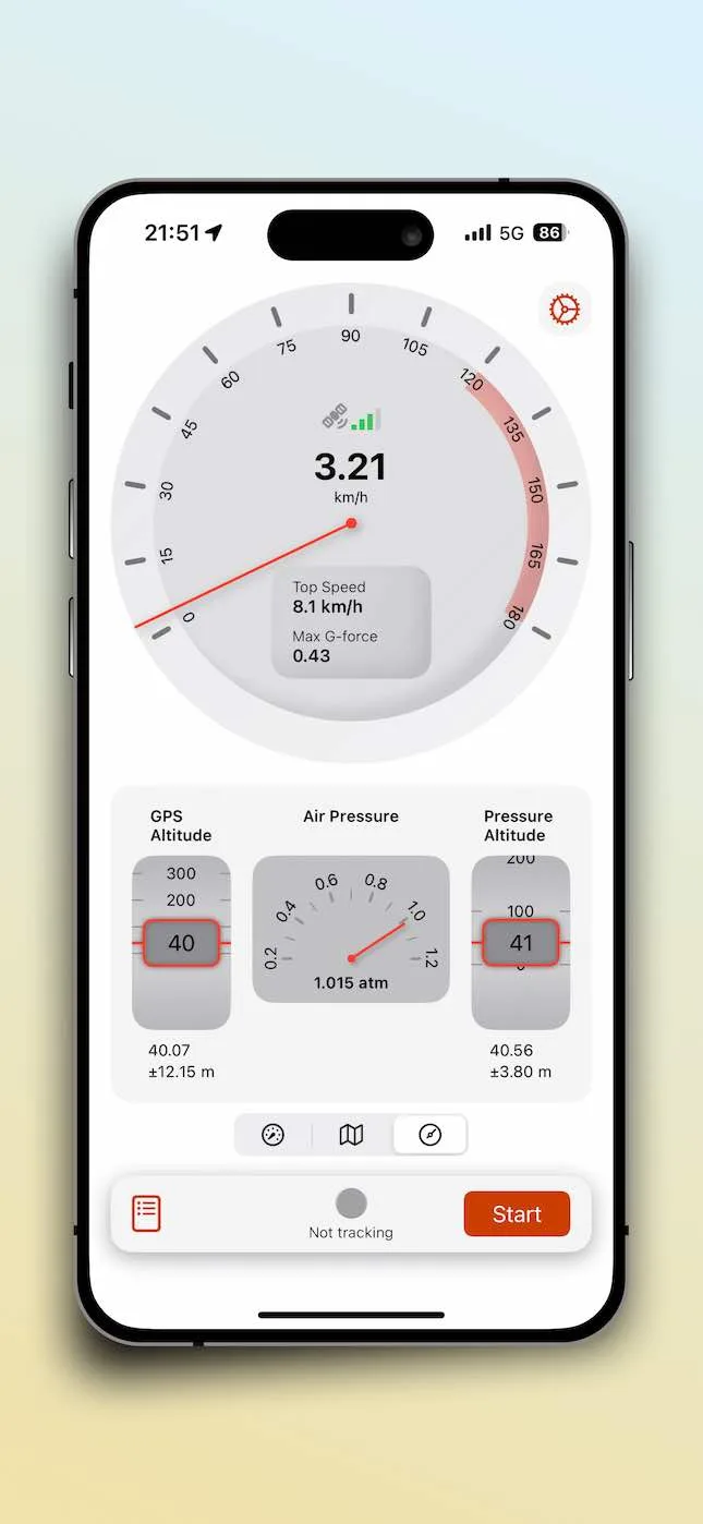
Apps like SpeedX (with multi-sensor support) let you:
- Compare GPS and barometric heights side-by-side.
- Detect weather-induced pressure drifts.
- See barometric responsiveness during elevation changes (GPS lags).
- Track speed, trajectory, pressure, and temperature.
🌄 The Bottom Line
Phones deliver a practical fusion: GPS sets the baseline; barometers track real-time changes; GPS corrects drift. This works for hiking—but for survey-grade accuracy, rely on professional geodetic data.
Next time your phone and a road sign disagree, remember: ellipsoid height, orthometric height, and barometric height naturally vary by tens of meters. Tools like SpeedX reveal this invisible world—turning confusion into insight.
Related Articles
2025-12-15
The Relationship Between GPS Elevation and Barometric Elevation: How SpeedX Provides Accurate Altitude Data
Learn the difference between GPS elevation and barometric elevation. SpeedX combines GPS and barometric sensors to provide precise altitude data for outdoor adventures and sports training.

2026-07-15
Understanding Altitude Zones: How Elevation Changes Everything
From sea level to the death zone — how different altitude ranges affect your body, your performance, and your safety in the mountains.

2026-06-15
Digital Odometer App: Track Distance, Speed, and Routes with SpeedX
How SpeedX transforms your iPhone into a precision digital odometer for tracking distance, speed, and routes across any terrain.