How to Make GPS Art on Your First Walk
GPS art turns a walk into a drawing. Your phone or watch records where you go, and the line on the map becomes the picture. For a first attempt, try a fish built from a loop and a triangular tail.

Find the shape in the streets
Start with a connected set of public paths. Find a loop for the body and three connected sides for the tail. A diamond-shaped body reads well on a grid. Mark the junction where body and tail meet, then check that each corner has a legal, usable crossing. Rotate the fish if that brings more of its outline onto existing paths.
Give yourself a short cue sheet
Start at the tail junction, walk the body loop back to it, then trace the three sides of the tail. Sketch arrows at turns you might miss, especially where paths branch in a park. If the tail has a missing connection, try a different block or choose a simpler outline before heading out.
Review the recorded line
Check the full outline first, then zoom in on the junction. A short GPS jump can make two nearby strokes look joined, so make the smallest features bigger on the next attempt. Start and end away from home if you plan to share the map, and inspect the shared view for location details you would prefer to keep private.
Related Articles
2026-11-16
Geocaching for Beginners: At the Coordinates but Still No Cache?
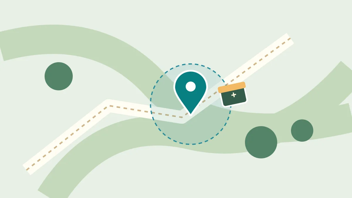
Choose a first cache, understand GPS uncertainty, and use the listing and surroundings to search without chasing the map pin.
2026-10-31
An After-Dinner Walk, One Bus Stop Further
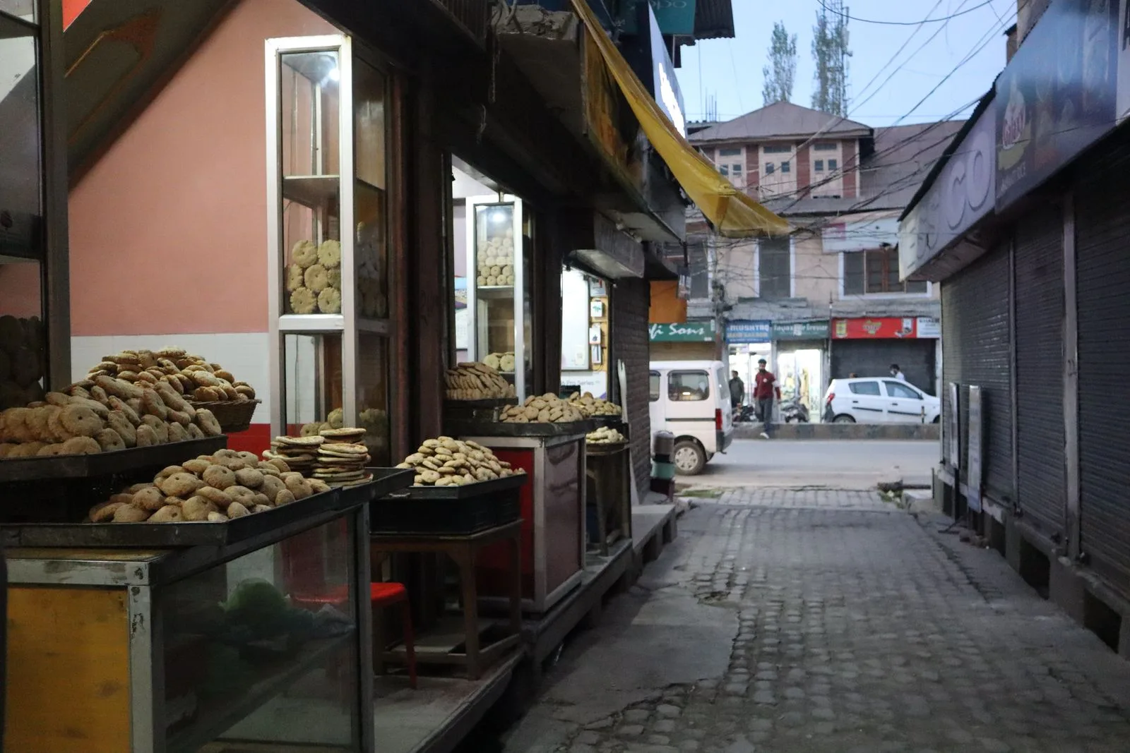
A short story about a missed bus, a bakery still lit after dinner, and the bread that makes a small detour worth remembering.
2026-10-22
Record a City Walk: Keep Your Route, Walking Speed and Elevation
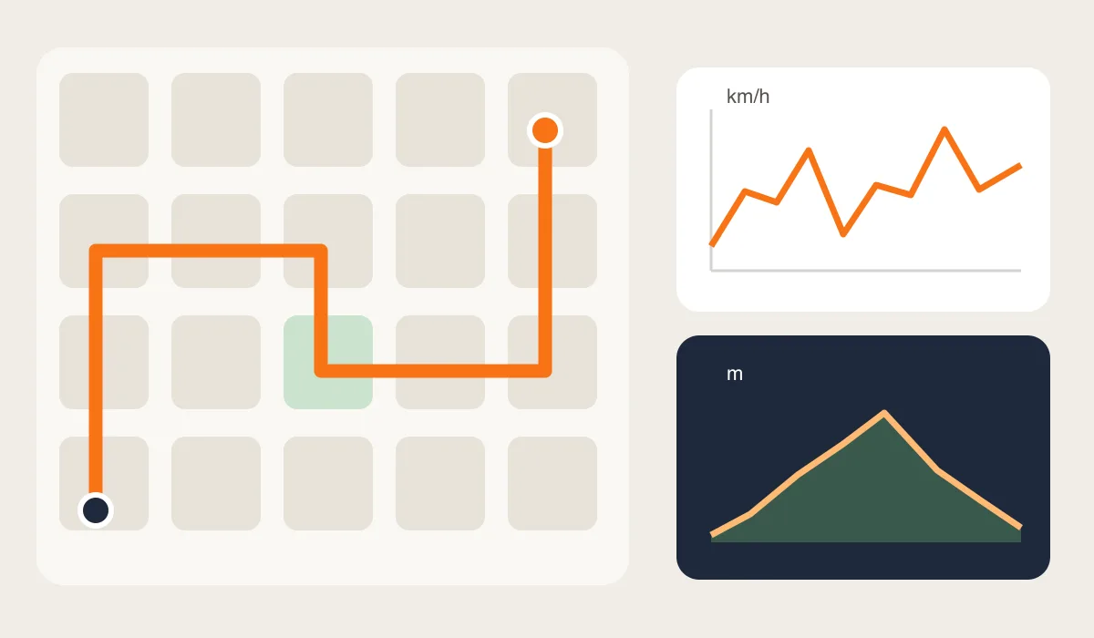
Turn an unplanned city walk into a useful record. Learn what a route, speed readings and elevation can tell you, and how to review a SpeedX trip afterward.